
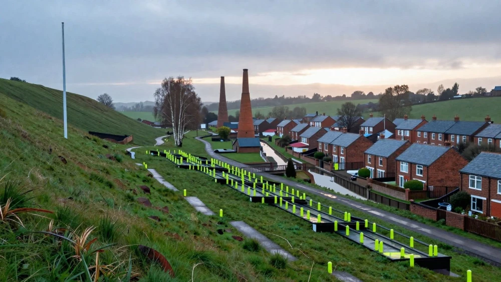
Topographical Surveys
Get in TouchAt Stoke Surveys, we offer detailed topographical surveys . Our service provides precise data for site mapping and land development projects.
We use advanced surveying techniques and equipment to collect accurate measurements and produce comprehensive maps of the surveyed area. These surveys are essential for architects, engineers, and builders to plan and execute construction projects effectively.
Contact us today for a free quote on your topographical survey needs.
Book Topographical Surveys Today
How Much Does a Topographical Survey Cost?
A topographical survey typically costs between £500 and £1,500. The price depends on factors such as the size and complexity of the site, accessibility, and the level of detail required.
For instance, surveys of flat, open land may require fewer resources and therefore cost less, whereas sites featuring varying elevation or dense vegetation could necessitate more advanced equipment, like LiDAR scanners or total stations, pushing the price higher.
Additionally, the intended application, such as construction planning, environmental assessments, or utility mapping, can also affect the overall cost if specific data accuracy levels are needed. Smaller plots may start at around £500, while larger or more complex areas can increase costs.
For an accurate estimation tailored to your project, please get in touch with us to discuss your requirements.
What Are the Benefits of Topographical Surveys?
Topographical surveys offer numerous benefits, including:
Accurate Planning: They provide a detailed map of the site's features, such as elevation variations and existing man-made structures, allowing for precise planning of construction projects, landscaping, and infrastructure development.
Risk Reduction: By identifying potential issues like underground utilities and unstable soil conditions before construction begins, topographical surveys reduce the risk of costly mistakes and project delays.
Improved Design: Surveys offer comprehensive data that enables better design decisions regarding property boundaries and elevations, aiding architects and engineers in developing CAD models and 3D visualisations that reflect real-world conditions.
Compliance: Ensure adherence to planning regulations, environmental constraints, and zoning laws, assisting in obtaining the necessary permits and approvals from local authorities.
Our surveys typically take one to two weeks to complete, depending on the site's complexity. For more information or to arrange a survey, contact our team at Stoke Surveys.
How Does a Topographical Survey Work?
The process of conducting a topographical survey involves several steps to ensure accurate and comprehensive site analysis:
Initial Consultation: We discuss your requirements and the specifics of the site, also determining the project's scope and any unique challenges, such as elevation changes or specific vegetation types that may affect the survey.
Site Visit: Our surveyors visit the site to gather data using total stations, GPS units, and laser scanners. These tools help measure horizontal and vertical angles, providing precise data on land features, including natural formations and existing infrastructure elements like roads and utility lines.
Data Analysis: Collected data is analysed and processed using software like AutoCAD or GIS systems to produce a detailed map. This map illustrates the site's contours, elevations, and any noteworthy attributes, such as drainage patterns or soil stability factors.
Report Generation: We generate a report detailing the site's topography, contours, and other significant features. This includes actionable insights and recommendations for developers or architects to consider during planning.
Our goal is to provide clear, reliable information to support your project's success.
How Long Does a Topographical Survey Take?
Most topographical surveys can be completed in one to three days, depending on the site's complexity and size. We use high-precision Total Stations and GPS units to accurately capture the site's features, which helps ensure data accuracy and completeness.
Larger or more intricate sites, such as those with varied terrain or numerous structures, may take longer as we might need to employ additional methods like aerial photogrammetry for comprehensive coverage.
After data collection, our skilled team processes the data using software such as AutoCAD and GIS tools to create detailed maps and 3D models. We then conduct thorough quality checks before delivering the final report, which typically takes about one week.
Our reports comply with RICS standards, offering clients the detailed and reliable information they need. If you need a timeline for your specific project, contact us for more detailed advice.
When Are Topographical Surveys Needed?
Topographical surveys are needed during the initial stages of planning any construction or development project . They provide a detailed representation of the land, including contours, man-made structures, and natural features.
Architects and construction teams benefit from this data to design accurate plans that consider the land's features and elevations, helping to avoid costly modifications.
Additionally, these surveys are essential for legal and due diligence processes, ensuring boundaries and natural features are accurately documented, which is critical for resolving property disputes. Topographical surveys are also used for infrastructure projects, such as road and drainage system planning, where precise land measurements can prevent design flaws.
By employing technologies like laser scanners and GPS equipment, we ensure that data accuracy meets national standards such as BS 5964. Contact us to arrange a topographical survey and support your planning and development objectives.
Speak to a Topographical Surveys Expert
Why Choose Stoke Surveys for Topographical Surveys?
Stoke Surveys offers unparalleled expertise and reliability for topographical surveys. Our experienced surveyors use state-of-the-art equipment such as total stations and GPS rovers to deliver accurate and timely results.
We gather data on land elevations, boundaries, and existing site features, which are crucial for planning and development projects. Our team is skilled in employing advanced software solutions like AutoCAD and Civil 3D, enabling us to produce detailed contour maps and 3D models.
We pride ourselves on our professionalism and our commitment to meeting client requirements.
Our services cater to a variety of clients, including architects, engineers, and property developers, providing data critical for infrastructure and construction projects.
By choosing us, you ensure that your survey aligns with current industry standards, such as those set by the Royal Institution of Chartered Surveyors (RICS), and complies with all relevant regulatory requirements.
Frequently Asked Questions
How do I maintain the accuracy of a topographical survey?
To maintain the accuracy of a topographical survey, ensure any changes to the site are documented and update the survey as needed. Regular surveys can keep information current.
What is included in the price of a topographical survey?
The price includes data collection using modern surveying equipment, data analysis, and a report detailing the site's features. Additional services may incur extra costs.
Are there any limitations to topographical surveys?
Topographical surveys provide extensive data but may not account for sub-surface features. For underground details, additional surveys like geotechnical studies may be necessary.
Can Stoke Surveys handle large-scale projects?
Yes, we are equipped to handle large-scale topographical surveys. We have the resources and expertise to manage complex projects of varying sizes.
How soon can a survey be scheduled?
We can typically schedule a survey within one to two weeks, depending on current bookings. Contact us to arrange a convenient time for your site assessment.
Get a Free Quote for Topographical Surveys
For professional and accurate topographical surveys, choose Stoke Surveys.