
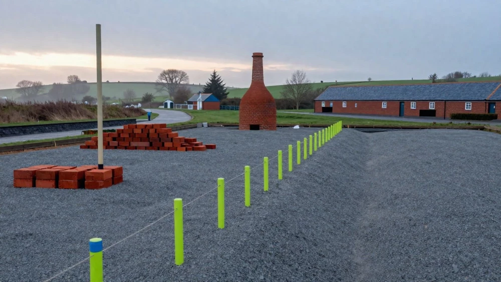
Site Engineering Surveys
Get in TouchAt Stoke Surveys, we specialise in comprehensive site engineering surveys . Our team offers precise measurements and detailed assessments, ensuring your project is built on accurate data.
We use state-of-the-art equipment to capture the topography, boundaries, and any potential obstructions on your site. This service is essential for a variety of construction projects, from residential developments to large-scale commercial builds.
Contact us today to discuss your site's requirements and get a tailored survey plan.
Book Site Engineering Surveys Today
How Much Do Site Engineering Surveys Cost?
Site engineering surveys typically cost between £500 and £1,500, depending on the size and complexity of the site. At Stoke Surveys, we've found that factors such as the scope of data needed, terrain challenges, and accessibility can affect pricing.
Additional elements like the use of specialised equipment, such as total stations and 3D laser scanners, also impact costs. We comply with industry standards, using precise methods such as network adjustments and levelling for accuracy in our measurements.
Our process often includes boundary identification, topographic mapping, and construction stakeout, each requiring different levels of detail. If you're working on commercial, residential, or industrial properties, each will present unique requirements that we need to consider.
For a detailed estimate tailored to your site's specifics, get in touch with us for a no-obligation quote that reflects your project's unique needs.
Speak to a Site Engineering Surveys Expert
What Types of Site Engineering Surveys Are Available?
We provide a range of site engineering surveys, each tailored to specific project needs:
Topographical Surveys: We use advanced total stations and GPS equipment to produce detailed maps, highlighting the site's surface features, including contours, trees, and utility placements. These maps are essential for architects and planners in the design phase of a project.
Boundary Surveys: Our boundary surveys define property lines with precision, employing methods like deed research and field monumentation. This process is vital for resolving disputes and confirming legal property boundaries, often required for property sales or development permits.
Construction Staking: Using robotic total stations, we mark out precise locations for structures according to architectural plans. This ensures that all elements, from buildings to utilities, are accurately positioned for construction crews, helping avoid future costly errors.
As-Built Surveys: We verify completed construction against initial design specifications, capturing any changes through detailed measurements. This helps confirm compliance with design plans and can be crucial for obtaining final occupancy certifications.
Call to discuss which survey suits your project best.
What Are the Benefits of Site Engineering Surveys?
Conducting a site engineering survey has numerous advantages, including:
Accurate Planning: Minimises unexpected site issues by incorporating geodetic measurements and topographical data to identify potential land challenges.
Regulatory Compliance: Ensures adherence to planning permissions by aligning with local building regulations and standards such as the National Planning Policy Framework (NPPF).
Cost Efficiency: Prevents costly mistakes in construction by identifying potential design clashes or subsurface obstructions with ground-penetrating radar.
Informed Decision-Making: Provides key data for project stakeholders through detailed CAD drawings and reports that highlight existing site conditions and constraints.
These benefits are crucial to maintaining project timelines and ensuring successful project delivery. To explore how our surveys can benefit your project, contact Stoke Surveys today.
Why Choose Stoke Surveys for Site Engineering Surveys?
Choosing Stoke Surveys for your site engineering surveys means selecting a team with expertise in accurate and detailed data collection. We employ the latest surveying technology and software, such as total stations and GPS receivers, ensuring precision and reliability in every project.
Our team adheres to industry standards like ISO 9001, ensuring quality management at every stage. We provide topographical surveys, boundary surveys, and construction staking, tailored to the specific requirements of residential, commercial, and industrial properties.
Our use of LiDAR technology allows us to generate highly detailed 3D models, which are beneficial for site analysis and planning in complex terrains. We can typically deliver initial survey results within two to three weeks, allowing for timely decision-making and project progression.
Partner with a team that understands your needs and provides professional guidance throughout the survey process.
Frequently Asked Questions
How do I maintain the results of my site engineering survey?
Maintaining the results involves keeping records secure and accessible. We recommend reviewing the data periodically to ensure your project remains on track.
Contact us if updates are needed.
What is included in the price of a site engineering survey?
Our survey prices typically include an initial consultation, data collection, analysis, and a detailed report. Additional services like re-surveys or extra data collection can be included upon request.
How long does a site engineering survey take?
The duration of a survey usually ranges from one day to a week, depending on site size and complexity. We aim to complete surveys efficiently without compromising accuracy.
Can I request changes after the survey is completed?
Yes, you can request updates or changes after a survey is completed. Our team will be happy to accommodate your needs and provide any additional information or services required.
Get a Free Quote for Site Engineering Surveys
Ready to proceed with a site engineering survey? Get started with Stoke Surveys today by contacting our team to discuss your specific needs and project goals.